
|
A free WebSite for motorcyclists.
Providing World Wide Web and electronic mailing list services to the
motorcycling public of planet Earth (and particularly the Pacific Rim
of North America).
|
|
|
A free WebSite for motorcyclists.
Providing World Wide Web and electronic mailing list services to the
motorcycling public of planet Earth (and particularly the Pacific Rim
of North America).
|

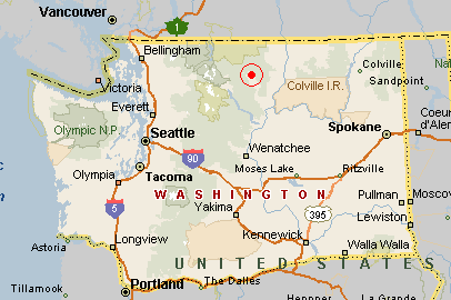
Near the red dot in the red circle
Approx: N 48° 29', W 120° 09'
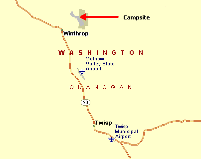
Close-up map
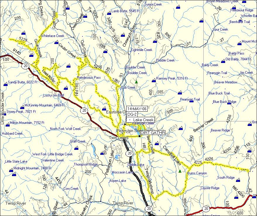
A loosely organized campout at Pearrygin Lake State Park for riders of Dual Sport and Adventure Touring bikes, consisting of a bunch of un-paved roads, some camping, heavy drinking and swapping of many lies. We did it the last two years, and Steve has reserved the Group Campsite for us again in 2007.
We created a special mailing list for the event, called dirtgather@micapeak.com. You'll have to subscribe yourself via the usual methods -- I recommend starting at http://www.micapeak.com/lists/. Feel free to subscribe or not, independent of whether or not you plan to attend this one. Warning: If you don't subscribe, you may well miss important organizational messages. The list will be for discussions pertaining to future (and past) events, and traditionally is very, very low volume. Purely social chatter unrelated to the events will be discouraged.
| Rider | Bike | GPS? |
|---|---|---|
| Adrian Kuepker | Suzuki DL650 | eTrex Vista Cx |
| Bill Woods | Aprilia RXV-550 | GPS-V |
| Debb Kopp | Kawasaki KLR650 | 60Cx |
| Gary Barnett | Honda XR650R | – |
| H Marc Lewis | Honda XR650L | – |
| Jim Harriger | BMW F650 | 176C |
| John Coulter | KTM 640 Enduro | 60Csx |
| Lucas Reber | Kawasaki KLR650 | GPS-V |
| Paul Guilfoil | Honda XR650L | 276C |
| Phil Kopp | Kawasaki KLR650 | 276C |
| Steve Powers | BMW R1200GS | 276C |